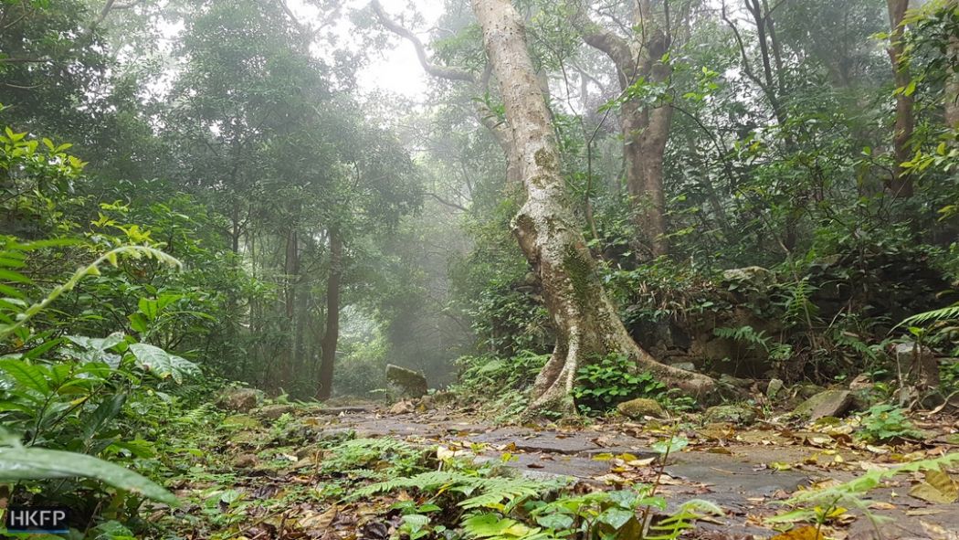
A network of misty ancient trails connect several abandoned hamlets dotted along the ridge separating Ma On Shan and Sai Kung.

Over a hundred years ago, such networks were the only means of transportation between rural farming communities.
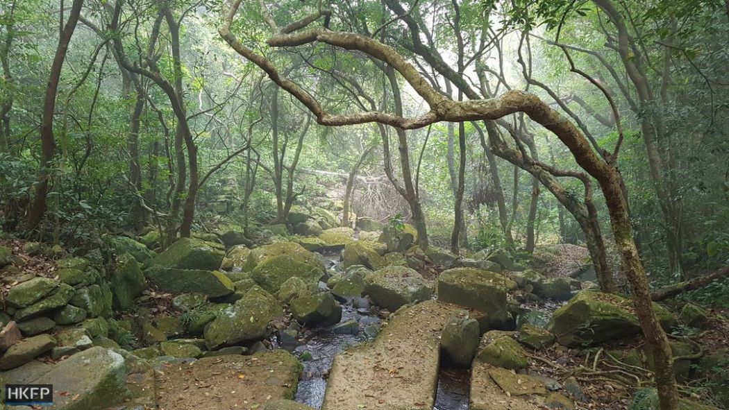
The stone-paved paths are rarely used by the few villagers who remain in the area, and much of the farmland has been reclaimed by nature.

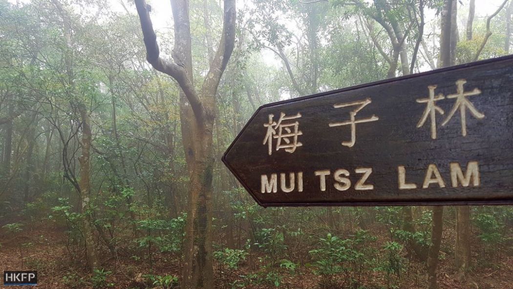
Mui Tsz Lam acts as a starting point for a day-long hike, and is still home to a few dozen families.
Derelict buildings, thick foliage, streams and bamboo line the paths out of the village.

The trails open up into a clearing with picnic facilities – from here there are multiple routes down into Sai Kung.

Hikers can continue on the MacLehose trail to Gilwell Camp and the Ngong Ping plateau.

Directions: Head to Tai Shui Hang MTR station on the Ma On Shan Line. From Exit B, head south down A Kung Kok Street and over the river. Head left down Mui Tsz Lam Road, following the directions. From Mui Tsz Lam 梅子林 village, follow signs for the Mau Ping 茅坪 ancient trail.